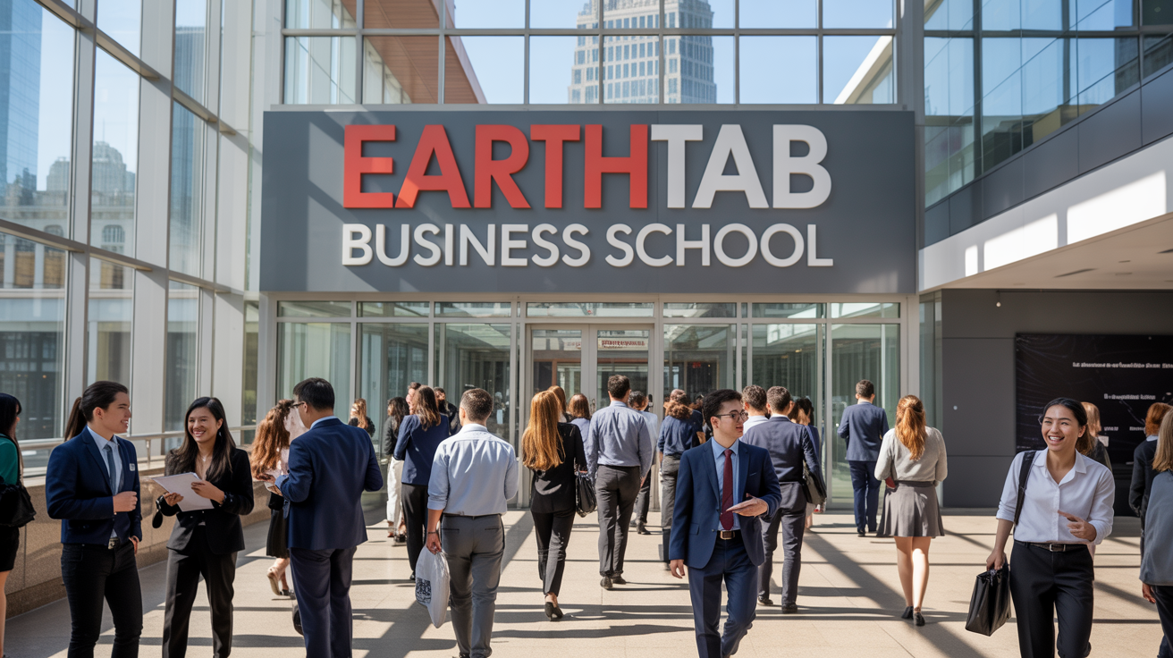
 EarthTab Business School
☰
EarthTab Business School
|
Course Overview: Welcome To EarthTab Business School. My Name Is Collins Wanjala And I Will Be Your Course Preceptor For The Course, Use Of Drones, Sensors, And Gps In Farming. The course “Use of Drones, Sensors, and GPS in Farming” is an advanced, technology-driven program designed to equip you with in-depth knowledge and practical expertise in modern precision agriculture. As the global agricultural landscape evolves, there is a growing need for data-driven approaches that enhance productivity, efficiency, and sustainability. This course offers a rigorous exploration of how unmanned aerial vehicles (drones), advanced sensing technologies, and GPS-based systems can transform farm management, improve crop yields, and optimize resource utilization. The course is meticulously structured to provide a holistic understanding of precision agriculture, emphasizing both theoretical frameworks and applied strategies. You will be guided through the technological principles, operational procedures, analytical methodologies, and decision-making processes associated with the deployment of drones, sensors, and GPS in modern farming environments. By the end of this course, you will be able to: Understand the fundamental principles of precision agriculture and its critical role in modern farm management. Operate and manage agricultural drones for diverse applications such as crop surveillance, pest detection, irrigation assessment, and aerial spraying. Implement sensor-based monitoring systems for soil, water, and crop health management. Utilize GPS technology to map fields, plan farm layouts, optimize machinery operations, and integrate geographic information systems (GIS) for data-driven decision-making. Analyze and interpret collected agricultural data for actionable insights that enhance farm efficiency and productivity. Evaluate the economic, environmental, and social impacts of adopting drone, sensor, and GPS technologies in agriculture. Stay abreast of emerging trends in smart farming, including AI-driven analytics, autonomous farm machinery, and the integration of IoT devices for farm optimization. Introduction to Precision Agriculture and Technology Integration: Historical evolution of precision farming and technological advancements in agriculture. Concepts and definitions: precision agriculture, digital farming, smart agriculture. Benefits of technology adoption: yield optimization, cost efficiency, resource conservation. Challenges and limitations of technology deployment in diverse agricultural systems. Drone Technology in Agriculture: Classification of drones: fixed-wing, rotary-wing, and hybrid drones, with operational advantages and limitations. Core components: sensors, cameras, payload systems, navigation controllers, and communication modules. Flight dynamics, autonomous navigation, and safety protocols for agricultural operations. Applications: crop monitoring, pest and disease detection, irrigation assessment, aerial fertilization, and precision spraying. Processing and interpreting drone-captured imagery for actionable agronomic insights. Sensor Technologies in Agriculture: Types of sensors: soil moisture sensors, nutrient sensors, pH sensors, temperature and humidity sensors, multispectral and hyperspectral optical sensors. Principles of sensor data acquisition, calibration, and maintenance. Integration with farm management information systems for real-time crop monitoring and decision-making. Sensor-based applications: irrigation scheduling, soil fertility assessment, pest detection, and yield prediction. Global Positioning System (GPS) and Geographic Information Systems (GIS): GPS fundamentals, satellite navigation principles, and positioning accuracy. Applications in farm mapping, precision planting, seeding, fertilization, and harvest planning. Integration of GPS with GIS for spatial data visualization and decision support. Use of GPS-enabled machinery for automated, efficient farm operations. Data Management, Analytics, and Decision Support: Collection, storage, and analysis of drone, sensor, and GPS data. Data analytics techniques: geospatial analysis, temporal analysis, predictive modeling, and machine learning applications in agriculture. Decision-making frameworks based on integrated farm data. Use of cloud-based platforms, farm management software, and dashboards for visualization and interpretation of agricultural data. Sustainability and Environmental Implications: Efficient resource utilization and reduction of chemical inputs through precision technologies. Soil conservation, water management, and environmental impact assessment. Cost-benefit analysis and return on investment for technology adoption. Case studies of sustainable precision agriculture implementations globally. Emerging Trends and Future Directions: Integration of AI, machine learning, robotics, and IoT in precision farming. Autonomous drones and machinery for farm automation. Smart farming for smallholder and large-scale commercial farms. Policy, regulatory, and safety considerations in the use of drones and GPS systems in agriculture. Upon completion, you will be proficient in the application of drones, sensors, and GPS technologies to optimize farm productivity, enhance decision-making, reduce operational costs, and promote sustainable agricultural practices. You will be capable of designing, implementing, and managing precision agriculture projects, analyzing collected data for actionable insights, and contributing to the modernization of agricultural systems through smart technologies.Key Learning Objectives:
Detailed Course Content:
Course Outcomes:
I Look Forward To Congratulating You Upon Completion Of This Course.
Unlocking Professional Potential through world-class assessments and industry-ready training.
"Empowering Professionals through practical, accessible online business education"
- Blessing Princess Agho
 Founder/Lead Instructor